Point forecasts
HRRR and RRFS at 3 km, GFS and ECMWF for the long range. Hourly, current and daily blocks, DEM-corrected temperatures, winds aloft every 1,000 ft.
/v1/forecast
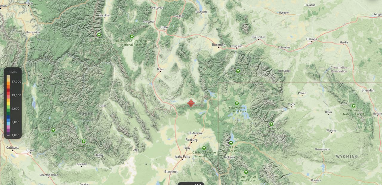
3 km HRRR and RRFS point forecasts in the Open-Meteo format, thermals and cloud base no other provider serves, map tiles that drop into any SDK, and live observations from radar to stream gauges. Free to start. Priced in credits.
Same parameters, same response shape. Change the base URL, add a key, and ask for the fields Open-Meteo doesn't have.
# one location, HRRR, the soaring set, today in local time
curl "https://api.vertexmaps.com/v1/forecast?latitude=46.87&longitude=-113.99&hourly=temperature_2m,wind_speed_10m,wstar,top_of_lift,cloud_base&daily=wstar_max&timezone=auto&forecast_days=1" \
  -H "Authorization: Bearer $VERTEX_API_KEY"
{
  "model": "hrrr", "model_run": "2026-09-19T12:00Z",
  "elevation": 976, "timezone": "America/Denver",
  "hourly_units": { "wstar": "m/s", "top_of_lift": "m", … },
  "hourly": {
    "time": ["2026-09-19T09:00", "2026-09-19T10:00", …],
    "temperature_2m": [14.2, 17.8, …],
    "wstar": [0.6, 1.4, 2.3, …],
    "top_of_lift": [null, 2440, 3350, …]
  },
  "daily": { "time": ["2026-09-19"], "wstar_max": [2.9] }
}Forecast models, derived soaring fields, tiles, observations, text products and outdoor layers, on one serving plane with one unit of account.
HRRR and RRFS at 3 km, GFS and ECMWF for the long range. Hourly, current and daily blocks, DEM-corrected temperatures, winds aloft every 1,000 ft.
/v1/forecast
Updraft velocity, top of usable lift, cumulus base and depth, overdevelopment potential, convergence. Derived from the model's boundary layer, not a lookup table.
wstar top_of_lift cloud_base cu_depth
Value-encoded PNG tiles for 26 variables across every model run, coloured client-side from published stops. A TileJSON document per layer and hour for MapLibre, Mapbox, Leaflet, deck.gl or QGIS.
/v1/layers /v1/tiles
MRMS radar with a 60-minute nowcast, lightning density, thousands of MADIS stations, radiosondes, USGS stream gauges, wildfire perimeters and hotspots, active TFRs.
/v1/radar /v1/stations /v1/lightning
Every NWS Area Forecast Discussion, sectioned and fresh within minutes, and active alerts for any point. Verbatim, never paraphrased.
/v1/discussions /v1/weather-alerts
Slope angle from 3DEP, public and private lands, FAA airspace, motor-vehicle-use maps and trails as vector tiles across the continental US. Named peaks with prominence.
/v1/static /v1/peaks
Every request costs a known number of credits, printed in the response. Ask before you call with dry_run=1.
15,000 credits a month, 1,000 a day. Commercial use allowed with attribution.
Graduated: $0.35 after the first million credits a month, $0.25 after five million. You set a hard monthly cap.
Uptime SLA, redistribution rights, dedicated hosts and invoicing.
| Request | Credits |
|---|---|
| Forecast, one location, up to 10 hourly variables, one model | 1 |
| Current conditions only | 0.5 |
| Soaring profile (cross-section or airgram) | 3 |
| Map tile (weather, radar, static) | 0.2 |
| Observation feed, overlay file, text product | 1 |
| Catalogue, meta, TileJSON, usage, pricing | 0 |